
Start a Conversation
Bee2Fire Predict
Know the risk
before the fire starts.
Fire spread forecasting up to 24 hours ahead, combining MODIS/VIIRS and Sentinel satellite data, weather, terrain and fuel models, and ground detection systems. Move from reactive response to proactive prevention.

Scroll
1 h
Forecast Window
1
Fire Risk Indices
1
Response Strategies to Simulate
Capabilities
Six predictive intelligence
capabilities.
Every capability designed to convert raw environmental data into decisive operational intelligence.
Fire Detection
By MODIS/VIIRS satellites via FIRMS, with Bee2Fire Forest or other ground systems, or by manual input.
Weather Data
Air temperature, wind (speed and direction), relative humidity and 24 h accumulated precipitation, built into the models.
Fire Risk
Calculation of FWI, ISI, BUI, FFMC, DMC, DC, DF, KBDI and McArthur, for immediate and long-term risk.
Fire Spread
Forecast up to 24 hours ahead, using terrain, tree cover and fuels.
Simulation and Response
Test firebreaks, aerial resources, ground firefighting and fuel changes before acting.
Air Quality
Sentinel data on carbon monoxide, methane, nitrogen oxides, formaldehyde, aerosols and particulate matter.
Data Architecture
From satellite to decision.
01
Ingest
Satellite detections (MODIS/VIIRS via FIRMS), weather data and ground cameras and sensors, ingested automatically.
02
Fuse
Data collected, cleaned, normalized and fused.
03
Model
Active fire detection, fuel assessment, 9 fire risk indices and a fire spread model up to 24 hours ahead.
04
Deliver
Real-time map, alerts and notifications, fire evolution forecast, firefighting recommendations and air quality monitoring.
Use Cases
Strategy simulation
Test the response before deploying it.
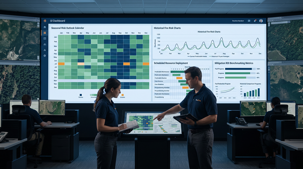
Strategy 01
Firebreaks
Place, sweep and recalculate. See how a single firebreak shifts the front.
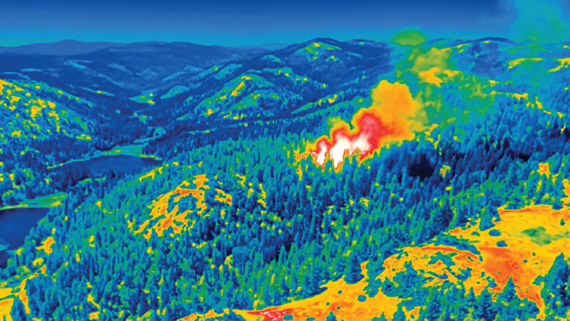
Strategy 02
Aerial resources
Position water drops and see the simulated effect on intensity and spread.
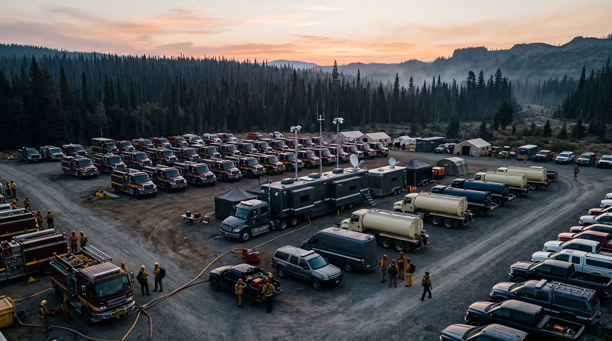
Strategy 03
Ground operations
Plan crew deployment by section, time of day and access road.
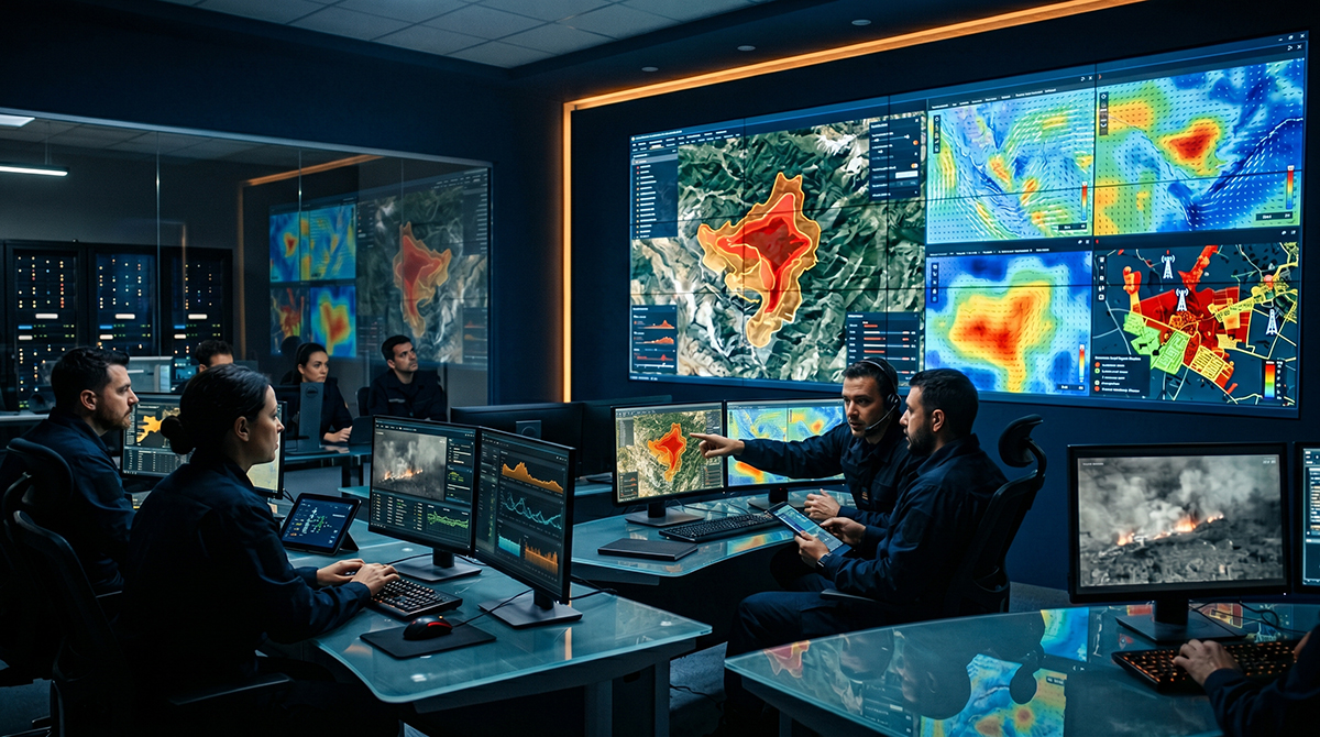
Strategy 04
Fuel modification
Run simulations with different terrain types to support planting and land management decisions.
Data Sources
Multi-source data fusion.
Predict draws from four data streams to build its composite fire-risk intelligence layer.
Satellites
MODIS/VIIRS via FIRMS for active fires; Sentinel for air quality.
Weather
Air temperature, wind speed and direction, relative humidity, 24-hour accumulated precipitation.
Terrain and Fuels
Elevation, slope and aspect, vegetation cover and fuel model; NDVI, land surface temperature and soil moisture adjust the fuels.
Bee2Fire Sensor Network
Real-time feeds from deployed Bee2Fire optical and thermal sensor towers, providing active ignition validation that continuously retrains Predict’s spatial risk models.
Start a Conversation
Talk to us about
your project.
Tell us about your terrain and we will design a detection architecture around your specific needs — no commitment required.
TECHNICAL ASSESSMENT
Site-specific detection architecture design
LIVE DEMO
See the platform operating on real data
Move from reactive
to predictive.
Schedule a Predict demonstration on your terrain data. No commitment required.