Start a Conversation


Powered by Artificial Intelligence
Multi-spectral Edge AI fusing optical, thermal, and spectrometric sensors into definitive fire classification. From ignition spark to operator alert in under 3 minutes — protecting forests, industrial perimeters, and critical infrastructure across six countries.
The Platform
A monitoring and early-warning platform with continuous 360º coverage powered by AI — helping organisations prevent fires, reduce damage and accelerate response with clear, actionable intelligence, 24/7.
Unlike cloud-dependent systems, Bee2Fire processes all data locally at the edge, issuing geo-located alarms in under 3 minutes regardless of network conditions. A dual-consensus AI classifier validated across millions of real-world detection events eliminates false alarms from dust, fog, reflections, and haze — supporting decision-making the moment it matters most.
Forest ecosystems, industrial perimeters, renewable energy infrastructure, and conservation areas — all under a single unified operating architecture, validated across 3 continents and trusted by operators managing millions of hectares.
01
02
03
Optical
High-resolution pan/tilt cameras with 30× zoom, detecting smoke columns at long range with sub-pixel smoke detection algorithms.
Thermal
LWIR thermal arrays capturing heat signatures invisible to the naked eye, operating day and night in all weather conditions.
Spectrometry
Multi-spectral sensors identify chemical signatures in smoke plumes — the earliest warning layer in the detection stack.
The Solution
Three integrated capabilities — Define, Detect, Predict — delivered as a service.
Define
Boundary intelligence from satellite & field data
Define protected zones with precision using multi-layer geospatial data — satellite imagery, cadastral boundaries, topography, and vegetation maps. Bee2Fire operators configure detection perimeters to your exact terrain and infrastructure, ensuring zero blind spots across your entire protected area.
Coverage
Operator Support
Key Capabilities
Detect
Alarm at the moment of ignition
Deep learning models run in parallel across optical, thermal, and spectrometric camera feeds. Dual AI classifier consensus eliminates false alarms and delivers sub-3-minute notification from ignition to alert — 24×7, without human operators in the detection loop.
Detection Rate
Ignition to Alarm
Unmanned Ops
Key Capabilities
Predict
Know the risk before the fire starts
Bee2Fire Predict combines weather, terrain, vegetation and satellite data (MODIS, VIIRS, Sentinel) with ground detection systems to forecast fire spread up to 24 hours ahead — enabling resource pre-positioning and targeted prevention before conditions become critical.
Spread forecast
Fire risk indices
Key Capabilities
Protection Systems
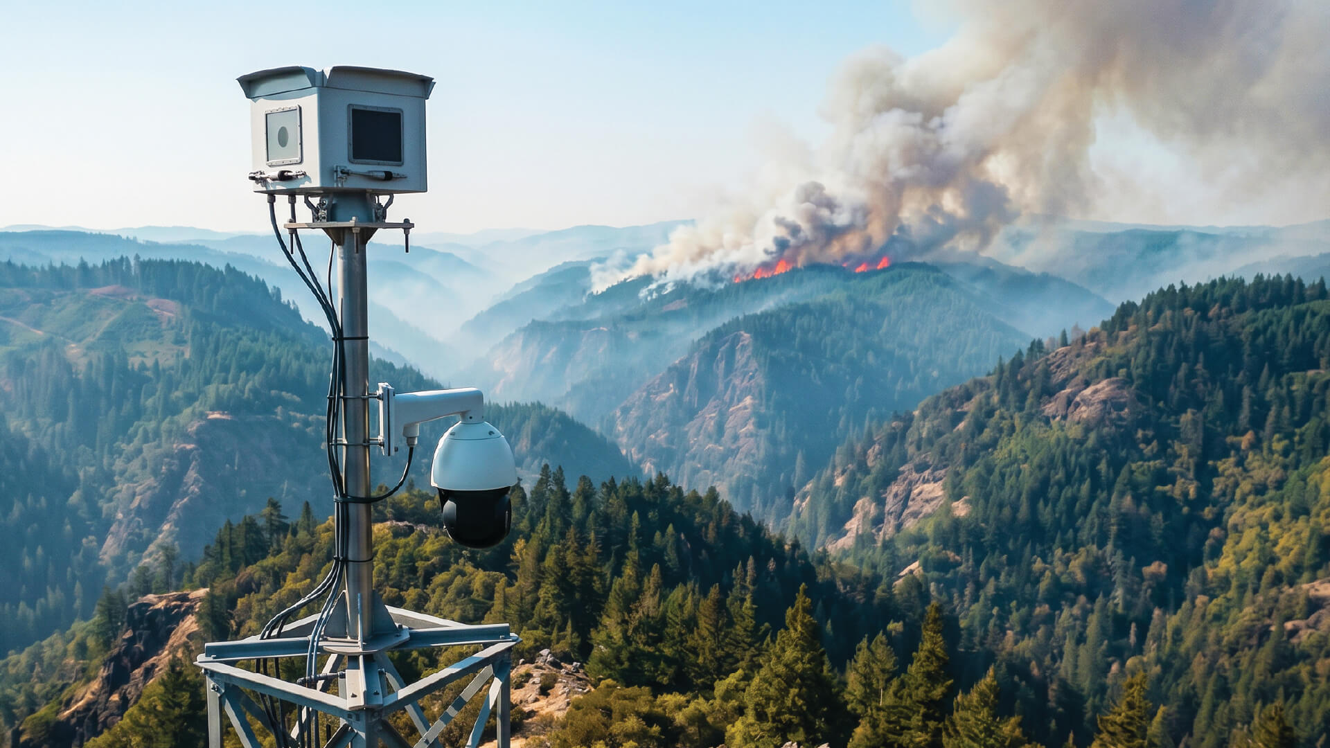
Forest
Detects smoke columns up to 15 km from a single vantage point. Dual optical and thermal cameras in consensus eliminate false alarms from dust, fog, and haze. Trusted by leading plantation operators across 3 continents.
Detection Rate
Range
Alarm Time
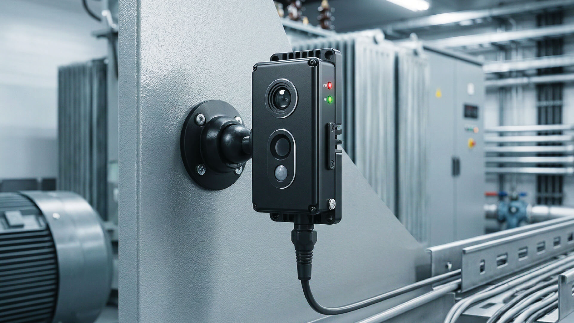
Industrial
Continuous monitoring of refineries, mining zones, chemical plants, and energy infrastructure. Detects gas leaks, anomalous heat signatures, and thermal runaway events — before they become catastrophic.
Specificity
Celsius measurement range
Operation
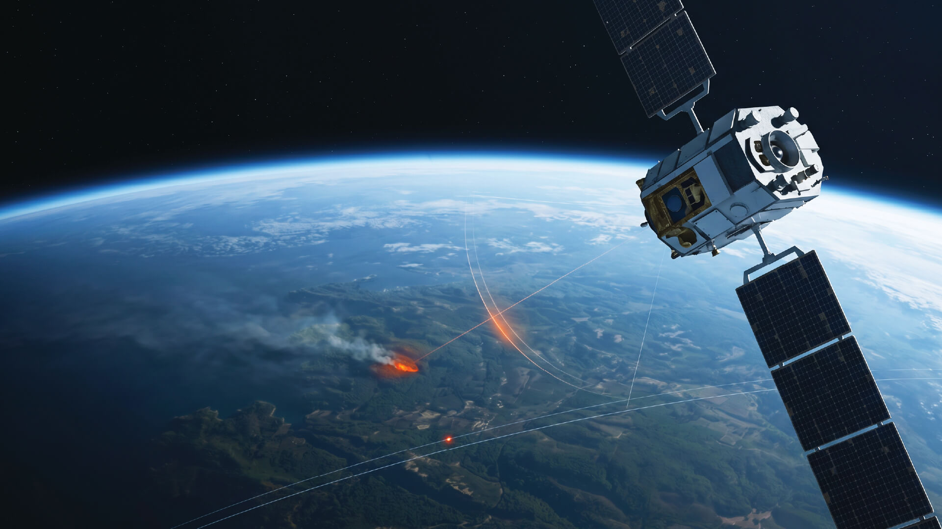
Predictive Intelligence
Purpose-built fire-risk intelligence for forestry operators, utilities, and civil protection agencies. Combines satellite, weather, terrain and fuel data to forecast fire spread up to 24 hours ahead.
Spread forecast
Risk indices
Recognition
Our performance speaks for itself — validated by AI world championships, national innovation awards, and real-world deployments across 3 continents.
Award
IBM Watson Build
#1 In The World
Bee2Fire recognised as the top AI solution globally on IBM Watson Build — competing against over 2,000 startups across 150+ countries.
Certification
RIPCI (Applus+)
PT · ES · EU
BEE2FD-D2L thermographic fire detection system, certified for critical infrastructure and industrial environments.
PT · ES · EU
AWARD
National Innovation Award
Utilities, mobility and infrastructure
The largest national automatic fire detection project, winner in the utilities, mobility and infrastructure category of the National Innovation Award 2025.
Patent
Proprietary technology for early detection of forest and industrial fires.
Operations
Global Deployment
Portugal, Spain, Greece, Italy, Ecuador, Brazil
Live deployments across 6 countries protecting over 5 million hectares of forest and industrial assets — with active expansion underway.
Trusted Partners









Case Studies
Forest/Industrial
The largest national automatic fire detection project. Winner National Innovation Award 2025
Industrial
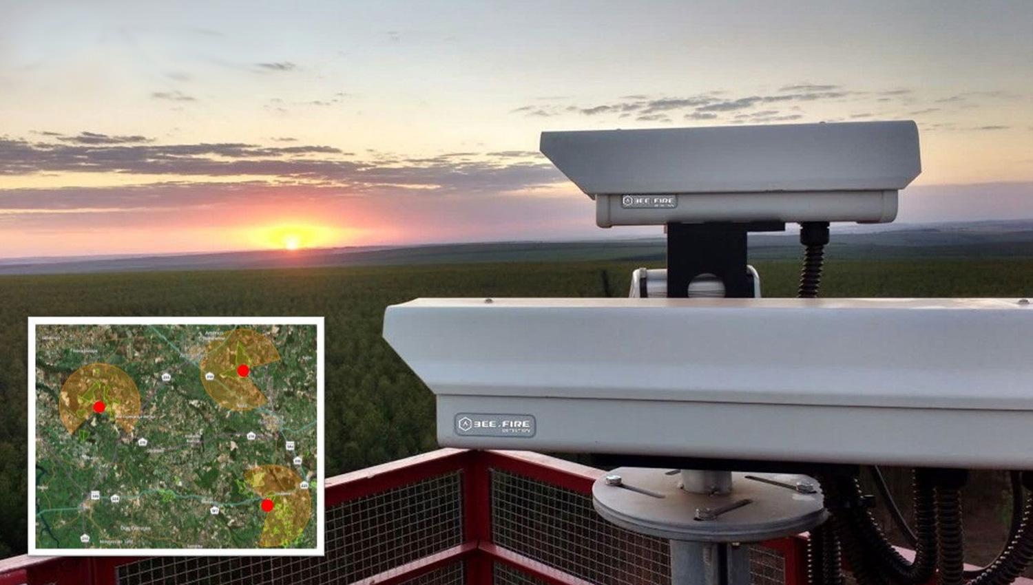
Protection of the forest perimeter around VALE, S.A.’s iron and nickel mining operations.
Forest
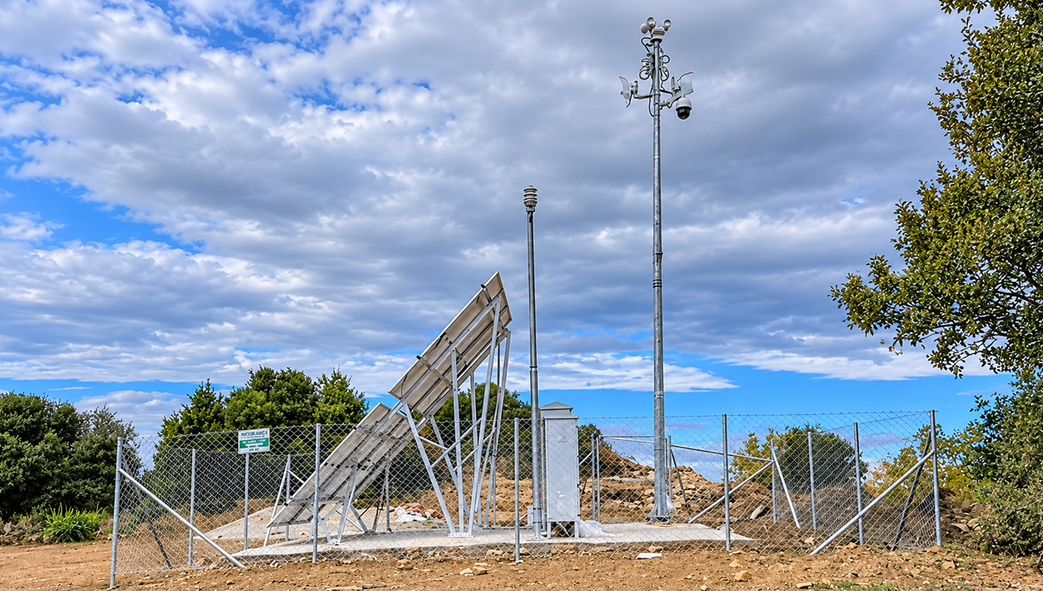
Forest protection for 19 municipalities, in coordination with the Hellenic Civil Protection.
Latest Insights

Start a Conversation
Tell us about your terrain and we will design a detection architecture around your specific needs — no commitment required.
TECHNICAL ASSESSMENT
Site-specific detection architecture design
LIVE DEMO
See the platform operating on real data
Join the operators protecting millions of hectares with Bee2Fire.